Terra Incognita
Introduction
Terra Incognita visualises how Wikipedia has evolved over the last decade as an intriguing mirror of cultural and sociological difference. To achieve this we have taken each language edition of the encyclopaedia and mapped all the articles that refer to geographic locations. The work gives insights into the complex ways in which the encyclopaedia's language communities interrelate: the unexpected areas of focus, overlaps between each language's geography, and how the focus of linguistic communities has emerged over time.
The project comprised various experiments, each of which focused on different aspects of Wikipedia’s geographic content. Initial developments of the work used intricate scatter plots to highlight patterns in the article metadata. The Google Maps version displayed the edits in the context of a detailed basemap, while the Kartograph version showed how the articles were structured using a variety of world map projections.
Wikipedia’s Evolution
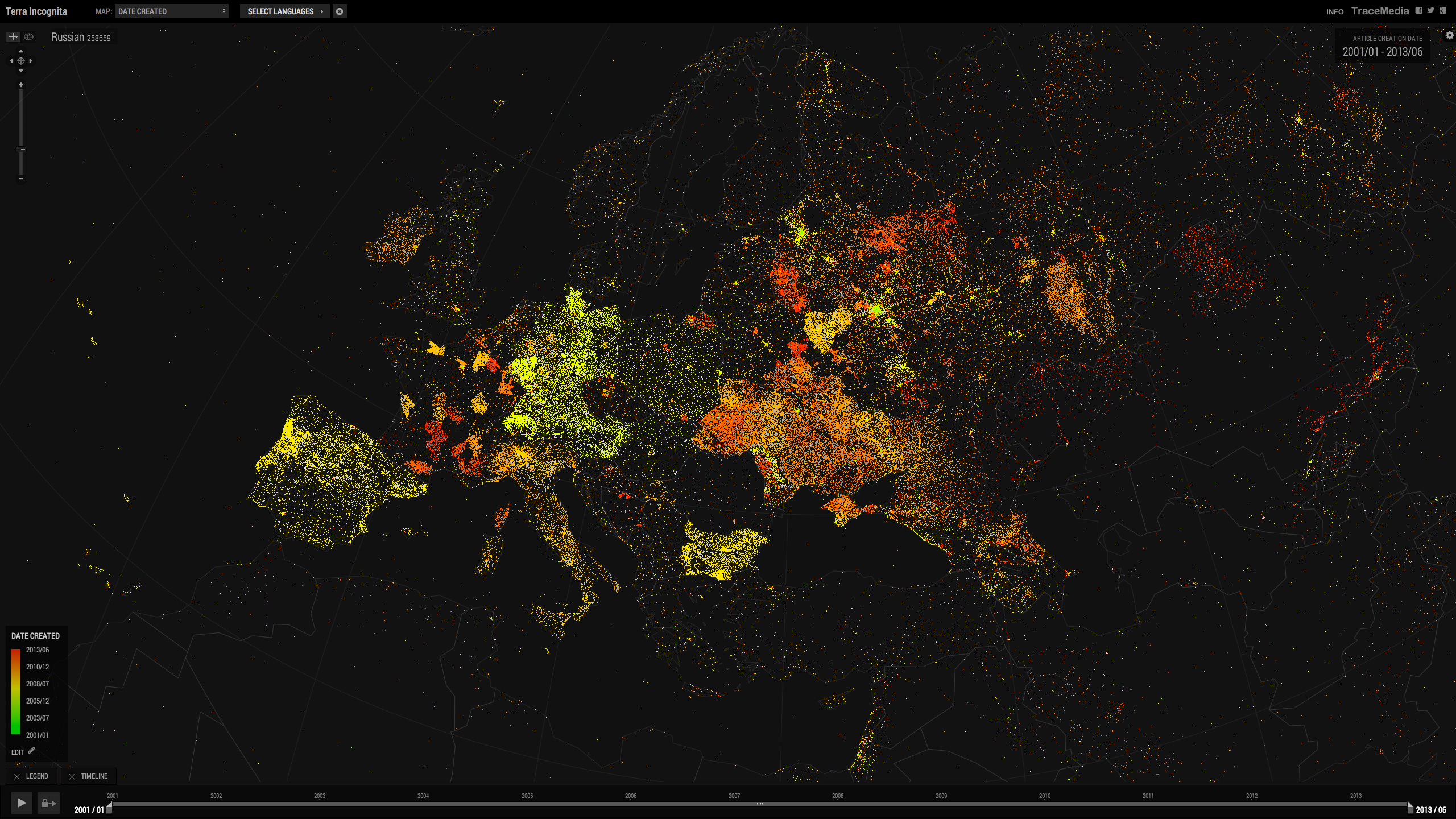
One aspect of Wikipedia we wanted to explore is how the various language editions have spread over the globe at different times, looking specifically at the record of newly created articles.
The best way to see this was to choose one particular country or continent, and up to eight languages of interest.
Running the timeline across the Language map showed cumulative coverage building as waves of new articles were laid down, while a fixed time window instead revealed how topographic features emerged at certain times. The recordings below were captured from the application.
Chinese, Kazakh, Uzbek and languages of Southern Asia are examples of languages to have emerged more recently.
Spanish, Portugese, French & Italian in Europe
Spanish, Portugese, French, English, German, Persian & Dutch in US
Japanese, Chinese, Indonesian, Malay, Korean & Thai
English - Kartograph Equidistant Azimuthal Projection
Language Overlaps
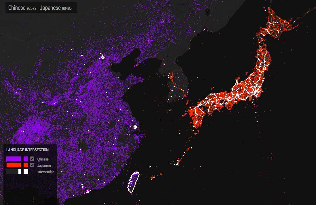
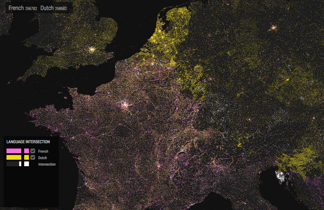
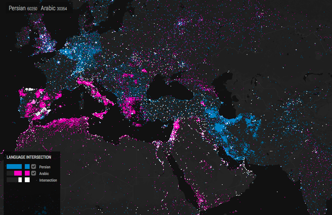
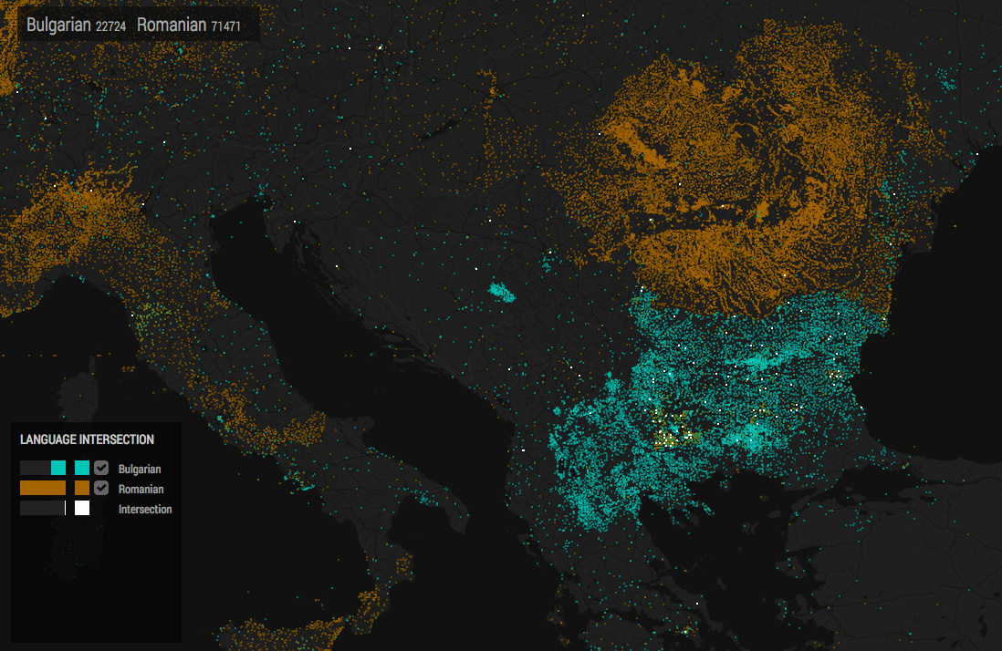
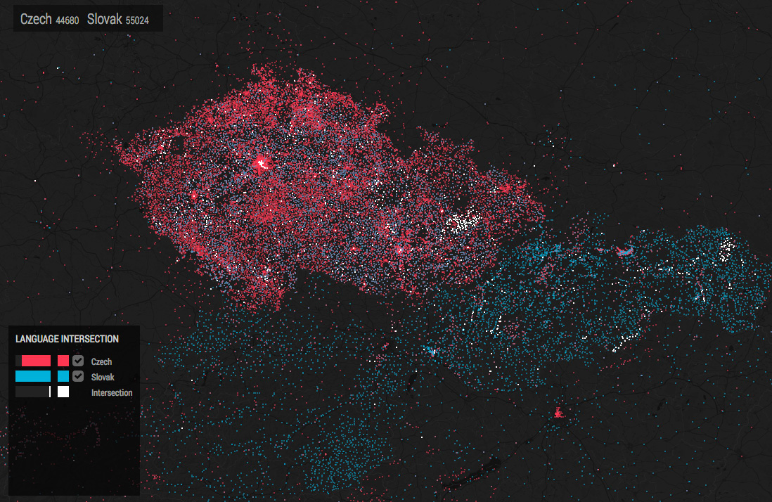
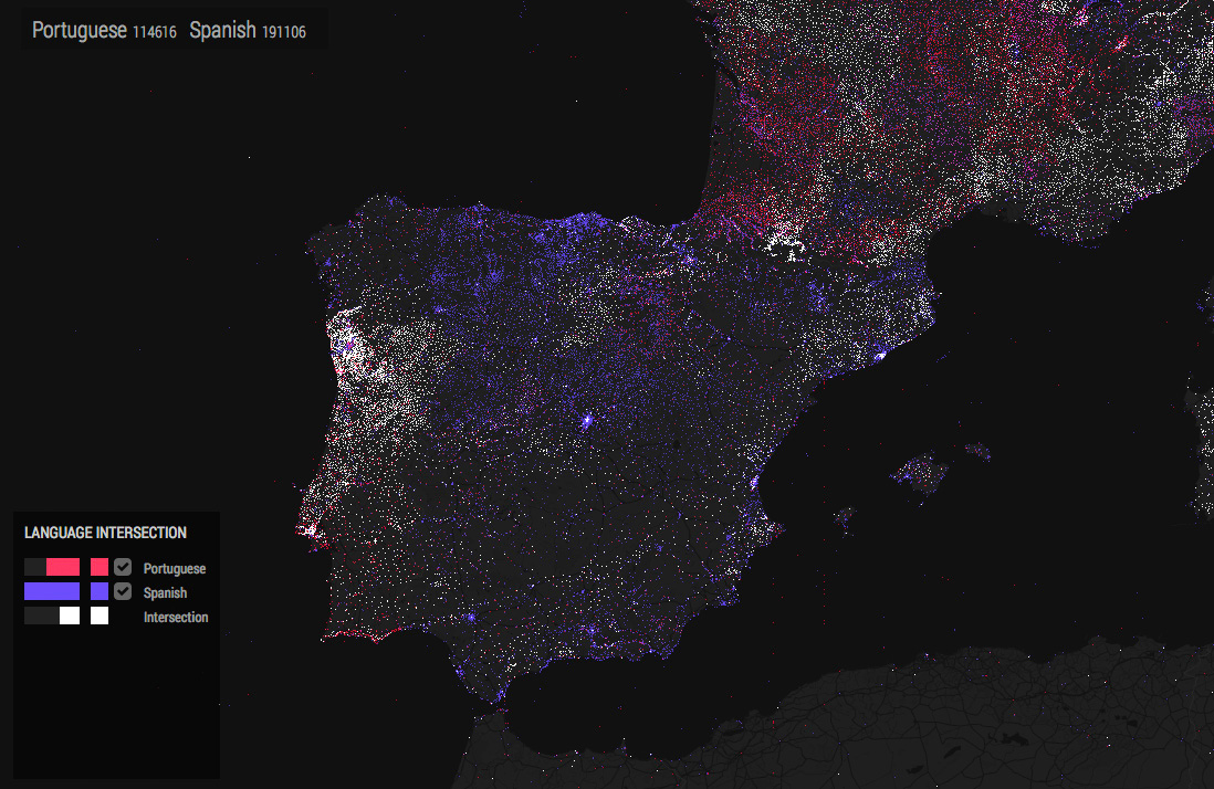
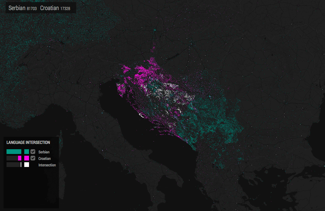
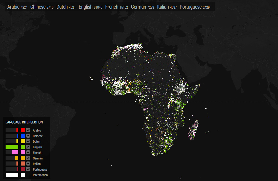
In addition to the language coverage we were interested in seeing how two or more languages intersect with each other - which locations appear in two encyclopaedia’s and what proportion of articles do the editions have in common. An approach to visualising this is the Languages Intersection map, where the articles in white indicate those that appear in more than one of the current languages. The legend indicates the percentage of the total articles that intersect.
-
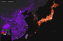
Chinese & Japanese
-
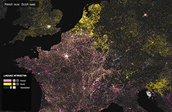
French & Dutch
-
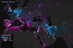
Persian & Arabic
-
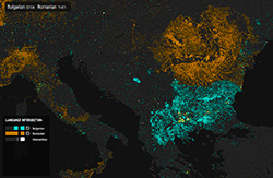
Bulgarian & Romanian
-
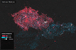
Czech & Slovak
-
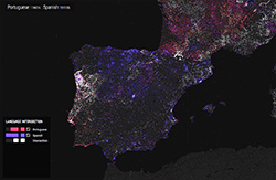
Portugese & Spanish
-
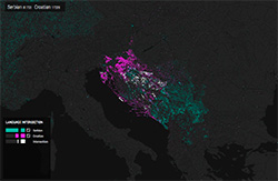
Serbian & Croatian
-
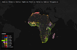
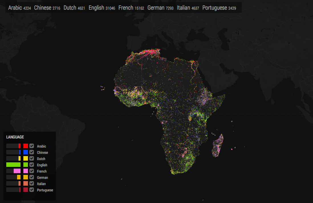
Africa - European Languages
-
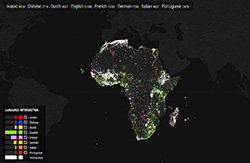
Africa Intersections
Language Links
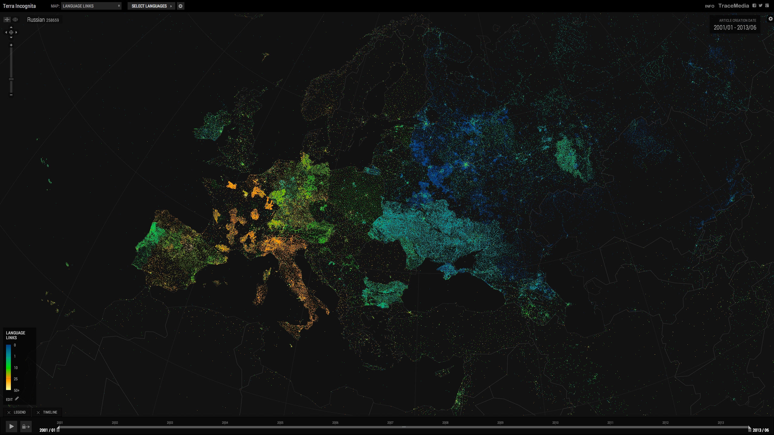
This metric shows the number of languages that an article is translated into. The Language Links map indicates the most translated articles, while Untranslated describes what proportion of a language’s articles are unique to it.
Romanian Language Links
Terra Incognita - Untranslated
Article Metrics
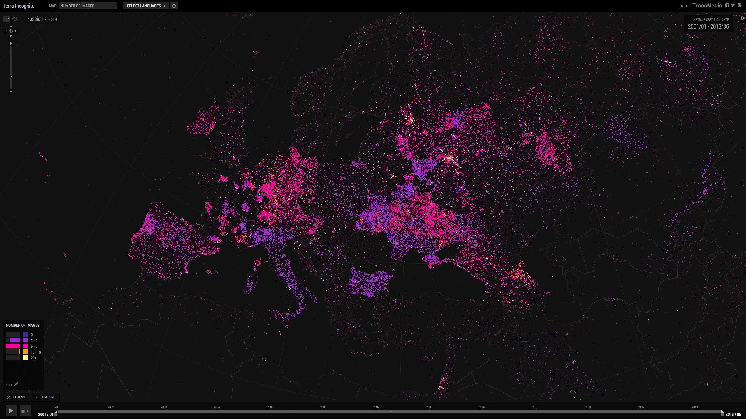
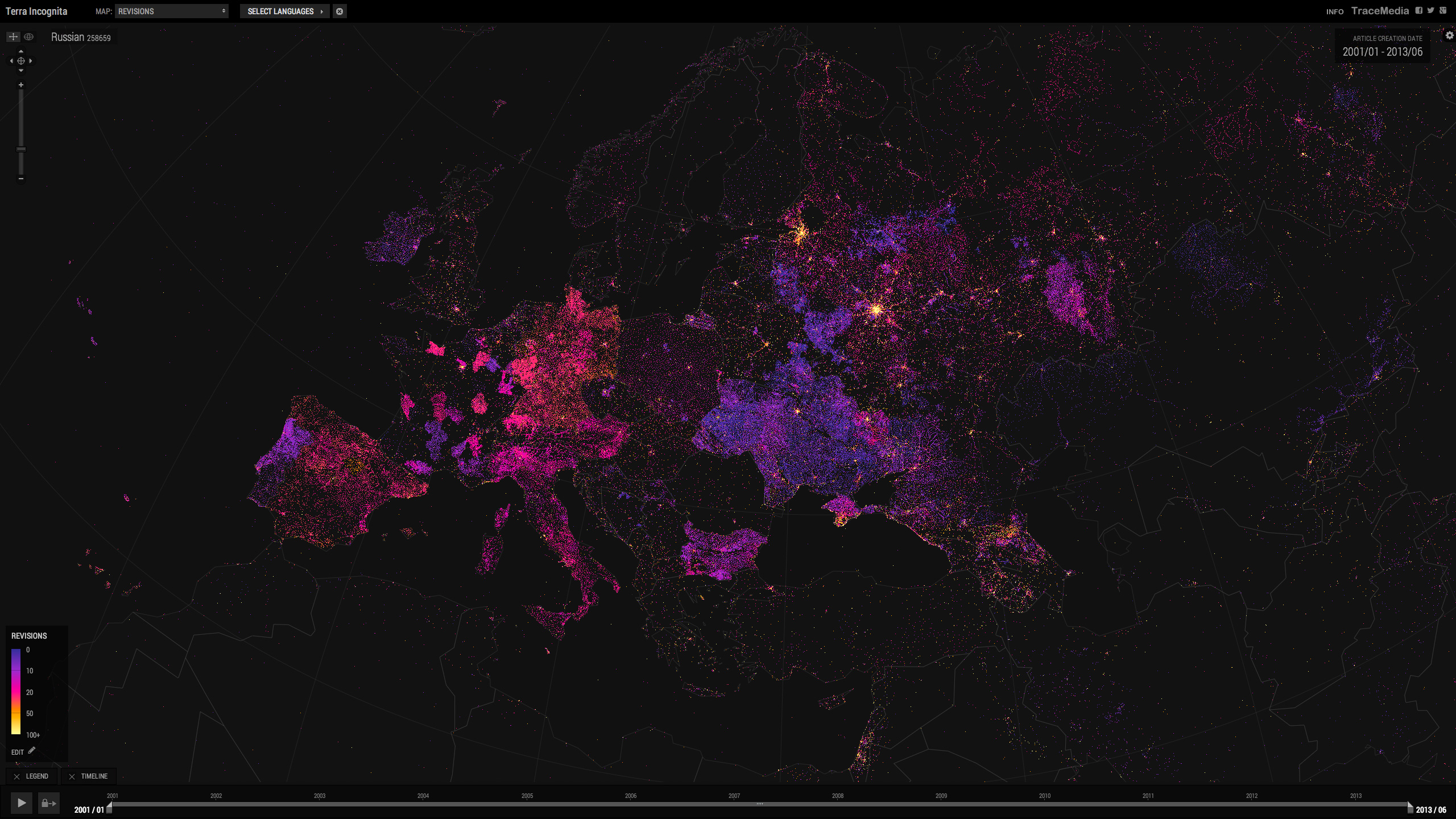
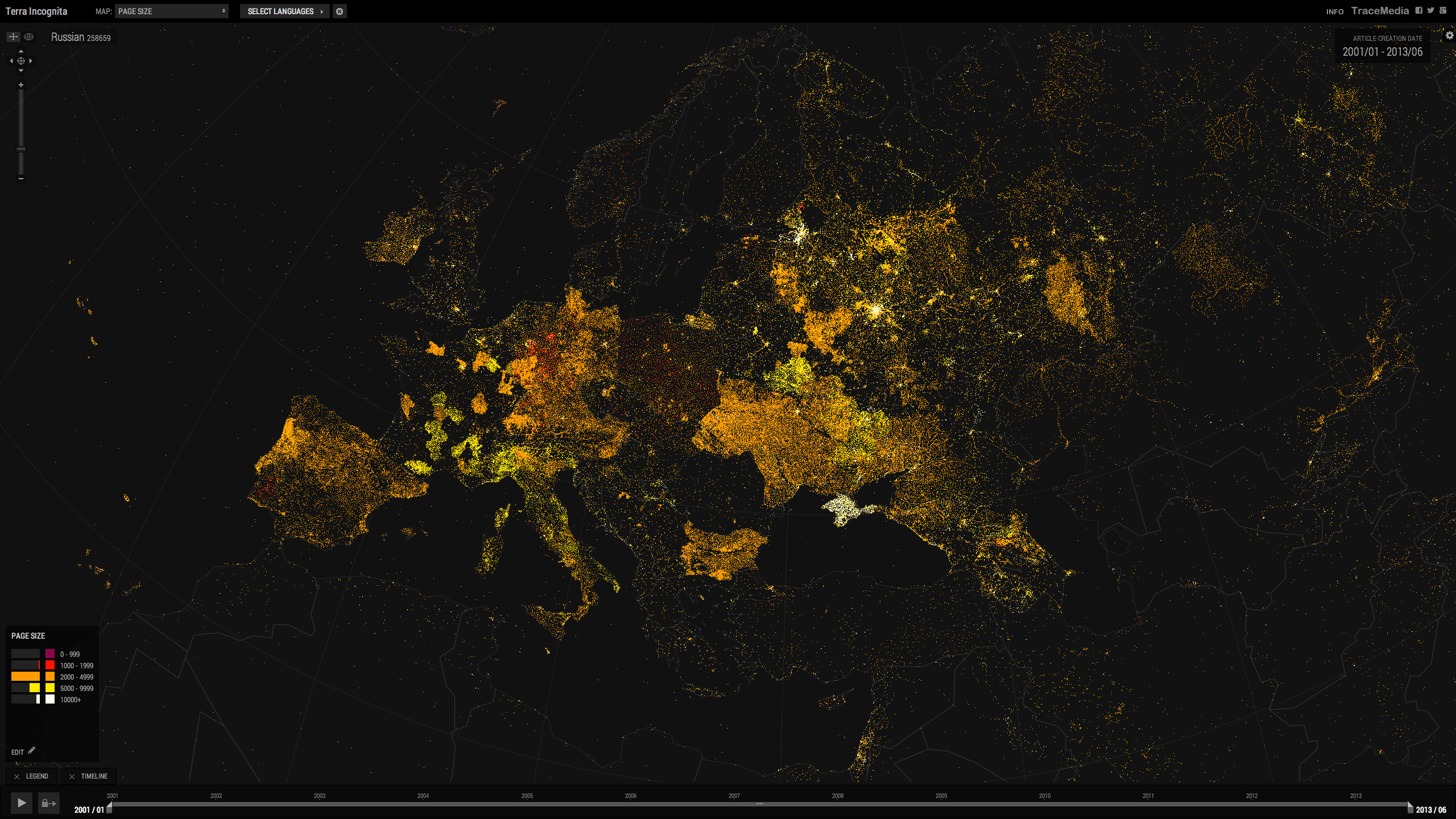
An indication of the editing activity for each language is given by the Map metrics: ‘Page Size’, ‘Revisions’ and ‘Number of Images’. For example the average number of revisions for the more recently developed Chinese edition is below 10, while the more established German edition is above 20.
Russian
-
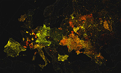
Date
-
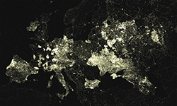
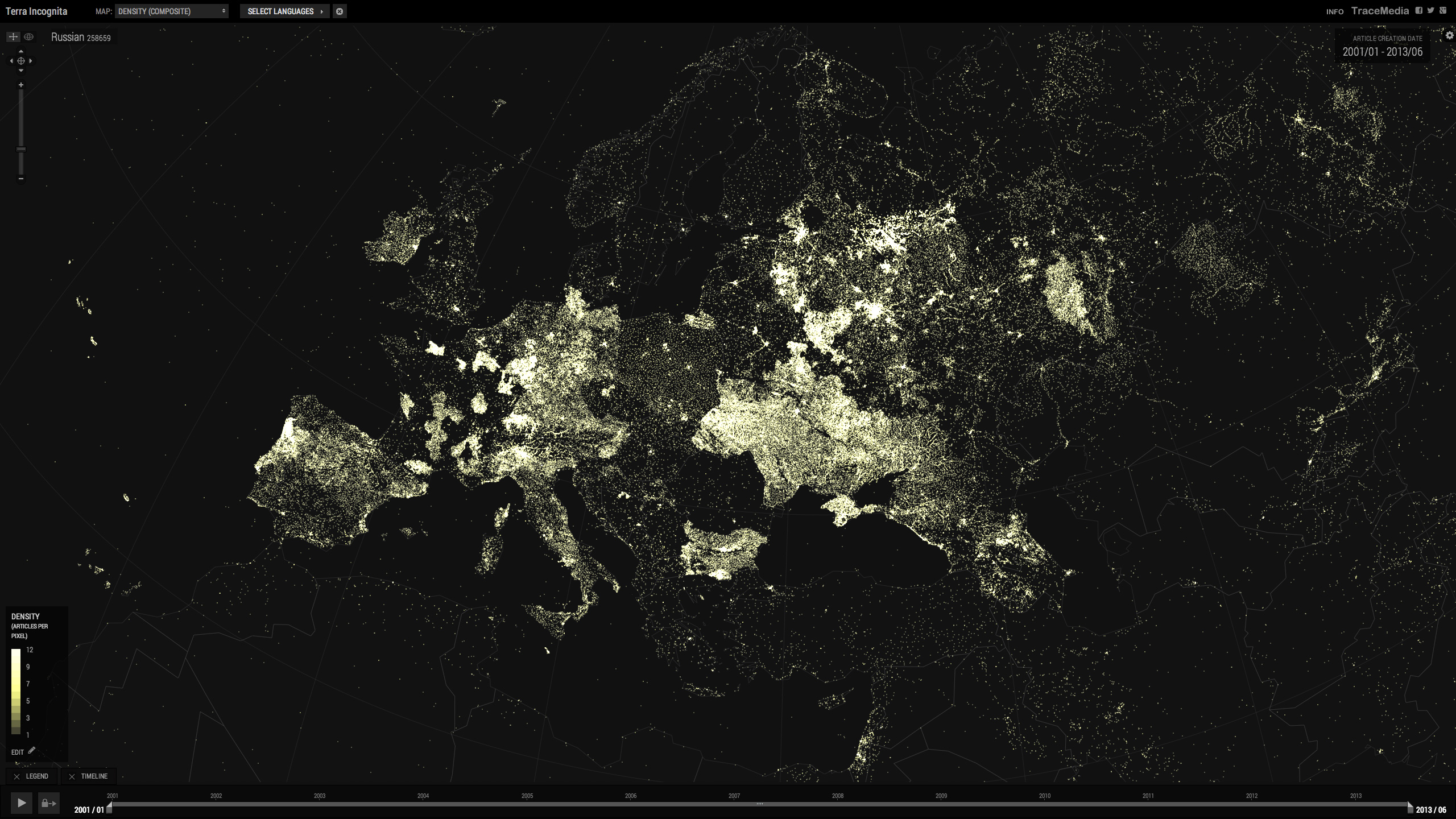
Density
-
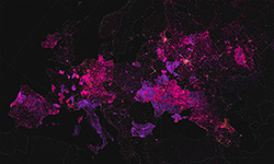
Number of Images
-
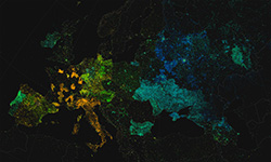
Language Links
-
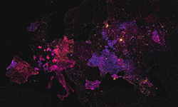
Page Revisions
-
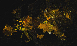
Page Size
How It Was Built
The project was developed using data from the Wikimedia Toolserver Ghel project, and article metrics that were derived from Toolserver scripts. The maps were created using Open Layers, Kartograph, Google Maps API, and data from Thematic Mapping.